Along with spring, fire weather returns to Colorado, Kansas
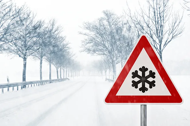
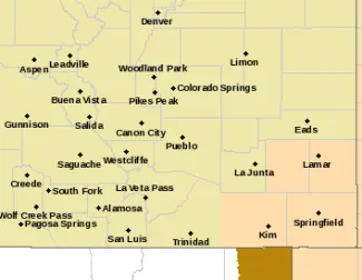
Spring started Tuesday, and the first fire weather watch of season is following Sunday for portions of southeast Colorado and southwest Kansas. As is typical for the area at this time of year, a change to snow is possible Sunday night, with wind chill in the low single digits also possible.
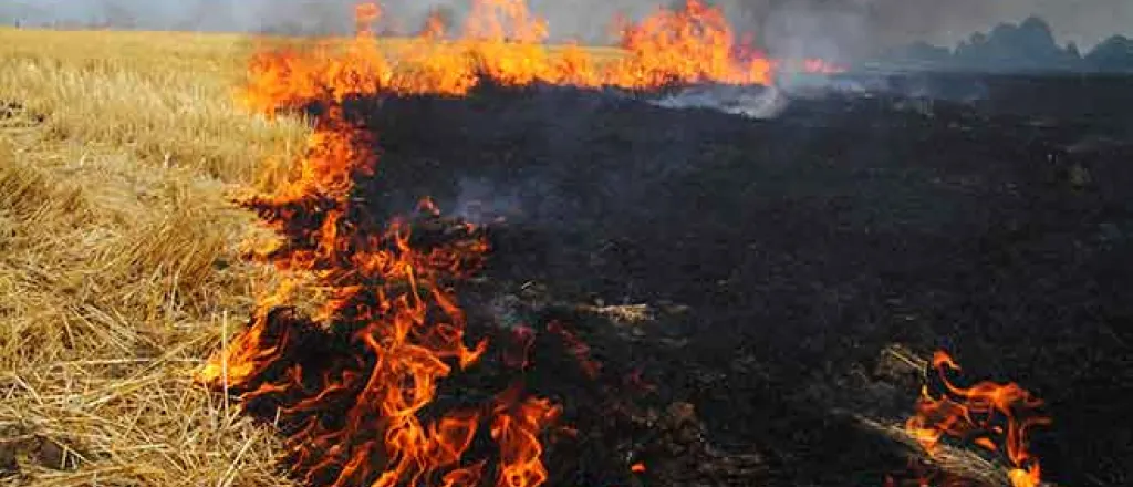
Recent warmer temperatures will combine with relative humidity falling into the teens, and strong winds out of the south and west gusting to 50 miles per hour, to increase the risk of fires in the area. Blowing dust is also expected.
©
In additional to Colorado and Kansas, critical fire weather conditions are expected to develop across the Texas and Oklahoma panhandles. Later Sunday, Oklahoma and Kansas can expect to see severe thunderstorms developing in the afternoon and continuing into the evening.
By Sunday evening, the incoming cold front will abruptly change the wind direction to the north, and is likely to accompanied by snow. Accumulation in eastern Colorado into Kansas will be minimal, with blowing snow being the more notable concern.
High temperatures in Colorado are expected to reach the 70s Saturday, dipping slightly to the 60s for Sunday. Overnight Sunday into Monday, low temperatures in the 30s are expected. Combined with continued strong wind, wind chill values approaching zero are possible.
While the work week starts off cooler, with highs in the 40s Monday and Tuesday, temperatures are expected to return to near normal by the middle of the week.
Colorado counties under Sunday’s fire weather watch include Bent, Prowers, Baca, and western Las Animas. Those counties are likely to see the watch to be replaced with a red flag warning.
While not quite to the level of needing a fire weather watch, southeast Colorado can expect warm and windy conditions Saturday. Portions of Pueblo, Otero, and eastern Las Animas counties will see spotty, near-critical fire weather conditions. Wind gusts to 45 mph are predicted Saturday across the southeast portion of the state.

