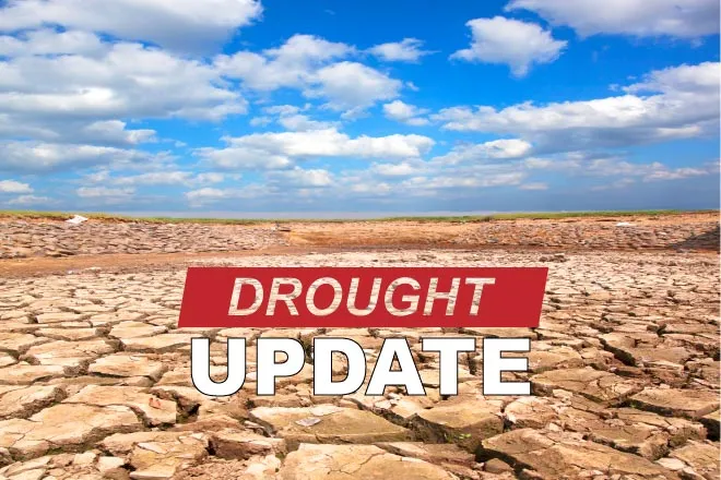
Arkansas River report – week ending June 20, 2022

The weekend brought welcome precipitation to parts of the Arkansas Basin, but the U.S. Drought Monitor continues to show varying levels of drought basin-wide. NOAA's three-month temperature outlook, released June 16, shows a 50-60% likelihood of above-normal temperatures in most of Colorado through September. The three-month outlook shows a likelihood of normal to below normal precipitation in Colorado.
Precipitation
The Community Collaborative Rain, Hail and Snow Network reported the following precipitation totals for the weekend in the basin:
- Baca County - 0.05 inch at Campo.
- Bent County - 0.28 inch at Las Animas.
- Chaffee County - 0.42 inch at Salida, 0.30 inch at Buena Vista and 0.27 inch at Nathrop.
- Crowley County - 0.17 inch at Ordway and 0.09 at Sugar City.
- Custer County - 0.03-0.10 inch in three Westcliffe locations.
- El Paso County - no precipitation for most of the county and a high reading of 0.13 inch in Monument.
- Fremont County - 0.15 inch in Cañon City and 0.32 in Cotopaxi.
- Huerfano County - 0.11 inch at Walsenburg, 0.27 at Gardner and 0.10 at La Veta.
- Kiowa County - no precipitation.
- Lake County - 0.18 inch.
- Las Animas County - 0.05 inch at Trinidad and 0.48 in at Model, northeast of Trinidad.
- Otero County - 0.14 inch at La Junta and 0.06 at Rocky Ford.
- Prowers county - no precipitation.
- Pueblo County - 0.14 inch south of Pueblo, 0.03 at Pueblo and 0.23 south at Rye.
Reservoir Storage
Current reservoir data from the U.S. Bureau of Reclamation shows Pueblo Reservoir is 62% full as of June 19 with 200,150 acre-feet
of water in storage. Turquoise Lake water storage increased to 104,314 acre-feet or 80.6% of full. Twin Lakes Reservoir water storage increased to 117,705 acre-feet, 83.5% of full. Reclamation reports an increase in inflows from precipitation bump, prompting an increase of 50 cfs in water releases to 129 cfs, almost all of which is native Ark Basin water.
U.S. Army Corps of Engineers data show 23,181 acre-feet of water currently stored in John Martin Reservoir, which has a capacity of 348,599 acre-feet.
River Flows
Arkansas River flows are 177 cfs near Leadville, 796 cfs below Granite and 1,140 cfs at the Wellsville gauge, which includes 5 cfs of Fry-Ark Project water. The Cañon City gauge currently reports 993 cfs. Flows are currently 800 cfs below Pueblo Dam and 904 cfs near Avondale. Flows are 424 cfs near Rocky Ford and 478 cfs below John Martin Reservoir. The gauge at Lamar reports 80 cfs.
River Calls
Currently, the Arkansas Basin has 14 active calls. The three calls on the mainstem are the 1887 Amity Canal water right, the 1889 X-Y Irrigating Ditch right and the 1949 Arkansas River Compact at the Kansas state line. The most senior calling right is the Lewelling-McCormick with an 1864 priority date on the Purgatoire River, followed by the H.R. Steele Sump (1865 priority) on Fountain Creek at the confluence with the Ark River. The Hayden Supply Ditch (1866 priority) is calling on Greenhorn Creek, and the Gonzales Ditch (1866 priority) continues to call for Apishapa River water. The Garcia Ditch No. 2 (1867) and the Welton Ditch (1889) have calls on the Huerfano River. The Calf Pasture Ditch (1871) has a call on the Cucharas River. Remaining calls are on Fourmile, Hardscrabble, Wahatoya and Stout creeks with priority dates ranging from 1867 to 1880.