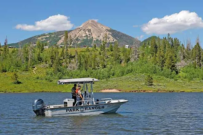
February 2023 Arkansas River Report

Almost half of Colorado (45.67 percent) remains drought-free, including the Upper Ark Valley, but the Lower Arkansas River Basin remains the driest part of the state, according the latest U.S. Drought Monitor report. West Slope river basins are enjoying above-average snowpack, but data from the Natural Resources Conservation Service shows that the Arkansas Basin has the lowest snowpack in the state at 76 percent of median.
Snowpack
Arkansas Basin Snowpack Telemetry (SNOTEL) readings for snow-water equivalent range from 28 percent of median at Apishapa near the Spanish Peaks to 127 percent at St. Elmo in western Chaffee County. The Brumley SNOTEL site, near Independence Pass, reports 98 percent of median, while Fremont Pass reports 91 percent. Glen Cove, north of Pikes Peak, dropped from 108 percent a month ago to a current reading of 46 percent. Buckskin Joe in the Mosquito Range reads 64 percent. In the Sangre de Cristo Range, Hayden Pass reads 42 percent of median.
Reservoir Storage
During the past month, Pueblo Reservoir went from 64.1 percent full to 67.3 percent, with water storage increasing from 207,047 acre-feet to 217,442 at he end of February. Water storage in Turquoise Lake, currently 49.4 percent full, dropped from 76,014.2 acre-feet to 63,949.2 in February. At Twin Lakes, storage levels increased slightly, from 99,431.4 acre-feet to 100,473 acre-feet, i.e., 71.3 percent full. John Martin Reservoir, which stores water for the Winter Water Storage Program (WWSP), increased from 30,097 acre-feet of water at the end of January to 35,423 acre-feet at the end of February.
River Flows
The gauge near Leadville is not reporting Arkansas River flow data, which is common during winter months. The gauge at Granite in north Chaffee County reports a flow of 137 cfs. The gauge at Wellsville, near Salida, reports 315 cfs, down slightly from January. River flows at Cañon City, 371 cfs, and below Pueblo Reservoir, 97.8 cfs, have also dropped since last month. River flow near Avondale is 308 cfs, up slightly from a month ago. The gauge at Rocky Ford reads 11.9 cfs, about half of the flow reading from the end of January. Current readings at John Martin Reservoir and Lamar are 0.77 cfs and 9.69 cfs, respectively.
Calling Water Rights
The Arkansas Basin currently has seven calling water rights plus the Maria Stevens Reservoir's authorized diversion on the Cucharas River under its 1887 storage right. The most senior calling right is the 1862 Model Ditch, which began calling for Purgatoire River water Feb. 17. Other calling water rights are:
- Coleman Ditch, 1867, Hardscrabble Creek.
- Fernandez Ditch, 1868, Turkey Creek.
- Upper Huerfano No. 2, 1869, Huerfano River.
- Doris Ditch, 1870, Fourmile Creek.
- Fort Lyon Storage Canal, 1910, Arkansas River mainstem.
- Arkansas River Compact (with Kansas), 1949, Arkansas River mainstem.