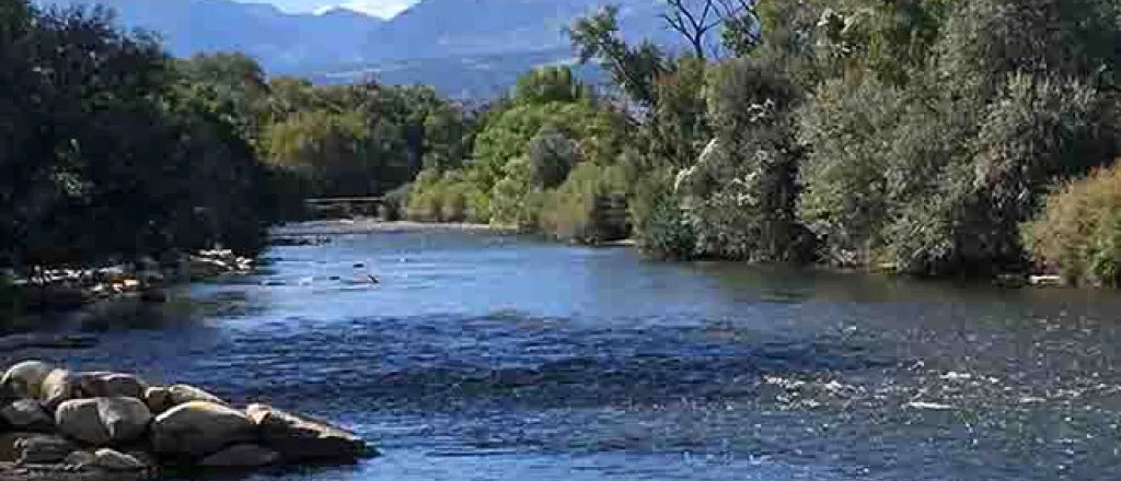
June 2023 Arkansas River Report
According to the most recent U.S. Drought Monitor report, the entire state of Colorado is drought-free.
The National Weather Service three-month outlook predicts above-normal temperatures through September and "equal chances" for normal precipitation for most of Colorado.
Precipitation
The CoCoRaHS (Community Collaborative Rain, Hail and Snow) Network reports the following precipitation amounts, in inches, since June 1 in the Arkansas Basin:
- Leadville - 1.87
- Buena Vista - 0.90-1.34
- Salida - 0.57-0.76
- Westcliffe - 0.53-1.79
- Cañon City - 1.69-2.63
- Walsenburg - 0.69-1.93
- Trinidad - 2.50-3.26
- Pueblo - 1.86-5.88
- Colorado Springs - 3.96-10.71
- Rocky Ford - 2.90
- Pritchett - 4.20
- Lamar - 6.32
Reservoir Storage
The Bureau of Reclamation reports that Pueblo Reservoir water increased from 207,515 acre-feet at the end of June to a current level of 223,029 acre-feet (69.1 percent full). The Turquoise Lake water level continued to rise through June, reaching 124,330 acre-feet (96.1 percent full). Twin Lakes Reservoir levels also increased in June, from 110,106 acre-feet to 125,069 (88.7 percent full). Even the water level in John Martin Reservoir is up, reaching 84,539 acre-feet, thanks in part to its 1949 storage right, which is now in priority.
River Flows
Over the past month, the Arkansas River flow near Leadville has dropped from 248 cfs to 121 cfs. Downstream, the Bureau of Reclamation releases from Twin Lakes are at 465 cfs, so river flow at the gauge below Granite is at 1,140 cfs. The Wellsville gauge, near Salida, currently reports 1,660 cfs.
The flow at Cañon City is currently 1,960 cfs. Below Pueblo Reservoir, flows are 1,060 cfs. Near Avondale the river is flowing at 1,490 cfs, and the gauge at Rocky Ford reads 958 cfs. The current reading below John Martin Reservoir is 56.4 cfs, and the Lamar gauge reads 875 cfs.
Calling Water Rights
The Arkansas Basin currently has 11 calling water rights, but 10 authorized diversions are now in priority.
The most senior calling right is the 1866 Gonzales Ditch on the Apishapa River, followed by the 1868 Harrington Ditch right on Hardscrabble Creek. The Center Ditch, another 1868 water right is calling for Turkey Creek water, and Titsworth Ditch is calling for Fourmile Creek water under its 1872 water right.
On the Cucharas River, the Spanish Peaks Ditch is exercising its 1873 water right, and the Pulaski Ditch is calling for water under its 1876 water right. On the Arkansas River Mainstem, the Colorado Canal is calling for water to satisfy its 1890 water right.
The 10 authorized diversions now in priority date to the early 1900s, beginning in 1903 with the Musgrove Ditch. Additional authorized diversions are:
- Bison Park Reservoir (1911)
- New Salida Ditch (1912)
- Helena Ditch (1912)
- Rock Creek Ditch (1912)
- Colorado Gulch Ditch (1912)
- Joseph Dunn Ditch (1912)
- Lake Creek Ditch (1912)
- Cogan and Day Ditch (1921)
- Sunnyside Park Ditch (1927)


