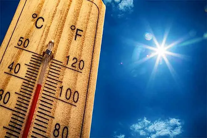
Lamar braces for highs near 107 as extreme heat peaks Sunday and Monday

Prowers County faces the hottest weather in southeast Colorado over the next five days, with Lamar reaching near 101 under sunny skies Friday, 103 Saturday, and a sweltering 107 both Sunday and Monday, according to the National Weather Service in Pueblo.
Friday will be sunny and hot, with a high near 101 and west winds of 5 to 10 mph shifting east-northeast in the afternoon. Friday night will be mostly clear, with a low around 68 and east-northeast winds becoming light after midnight.
The eastern plains will remain "dry and hot, with high temps increasing above 100 degrees" through the weekend as an upper-level high pressure system settles over the Four Corners region, a meteorologist with the National Weather Service in Pueblo wrote in Friday's Area Forecast Discussion. Monsoon moisture will keep afternoon showers and thunderstorms going over the mountains, where flash flooding remains a concern on burn scars, but a more stable air mass is expected to keep the plains largely dry into next week.
Four straight days of triple-digit heat
Lamar's forecast calls for highs of 100 degrees or better every day from Friday through Monday, peaking near 107 Sunday and Monday, with overnight lows dropping only into the upper 60s and low 70s. No heat advisories or fire weather warnings are currently in effect for Prowers County, but heat of this intensity is dangerous, particularly for outdoor workers, young children, older adults and those without reliable air conditioning.
Relief arrives in stages early next week. A 30 percent chance of showers and thunderstorms develops Monday night, mainly before midnight, followed by a slightly cooler Tuesday near 102 with a 20 percent chance of afternoon storms and a 40 percent chance Tuesday night.
Lamar, Colo. — Five-day forecast (July 24-28, 2026)
Source: National Weather Service, Pueblo — Issued July 24, 2026
| Period | Sky Conditions | High/Low | Wind |
|---|---|---|---|
| Friday | Sunny, hot | High 101 | W 5-10 mph, becoming ENE |
| Friday night | Mostly clear | Low 68 | ENE 5-10 mph, then light |
| Saturday | Sunny, hot | High 103 | Light, becoming ESE 10-15 mph |
| Saturday night | Mostly clear | Low 69 | SE 5-15 mph |
| Sunday | Sunny, hot | High 107 | SSE 5-10 mph |
| Sunday night | Mostly clear | Low 71 | SE 5-10 mph, becoming W |
| Monday | Sunny, hot | High 107 | W 5-15 mph, becoming E |
| Monday night | 30% t-storms, partly cloudy | Low 69 | E 5-10 mph, becoming NNW |
| Tuesday | 20% t-storms, mostly sunny | High 102 | NNW 5-10 mph, becoming E |
| Tuesday night | 40% t-storms, mostly cloudy | Low 67 | SE 5-10 mph, becoming NE |
(Kiowa County Press)
Saturday and Sunday
Saturday will be sunny and hot, with a high near 103 and light winds becoming east-southeast at 10 to 15 mph during the morning. Saturday night will be mostly clear, with a low around 69 and southeast winds of 5 to 15 mph.
Sunday brings more sunshine and the first of two days near 107, with south-southeast winds of 5 to 10 mph. Sunday night will be mostly clear, with a low around 71 — a warm night that offers little overnight relief.
Extended outlook: Monday and Tuesday
Monday stays sunny and hot, with a high near 107 and west winds of 5 to 15 mph turning east in the afternoon. Monday night brings a 30 percent chance of showers and thunderstorms, mainly before midnight, under partly cloudy skies with a low around 69.
Tuesday remains hot at near 102, with a 20 percent chance of showers and thunderstorms after noon. Storm chances rise to 40 percent Tuesday night, with a low around 67.
With highs near 107 Sunday and Monday and warm overnight lows offering limited recovery, residents should take the heat seriously: limit outdoor exertion to early morning and evening, drink water frequently, seek air-conditioned spaces during the afternoon, and check on vulnerable neighbors. Never leave children or pets in parked vehicles.