Lamar climbs to 99 on a windy Labor Day as Prowers County heat holds into Tuesday

Lamar is headed for a high near 99 on Labor Day with south winds gusting to 40 mph, the hottest day of a week the National Weather Service expects to cool gradually through Wednesday before warming again.
The Weather Service in Pueblo calls for mostly sunny skies Monday with a 10 percent chance of showers and thunderstorms after 5 p.m. South-southwest winds of 15 to 25 mph will gust as high as 40 mph. Monday night stays warm and breezy, with a low around 68, gusts to 40 mph and skies gradually clearing after an early chance of storms between 9 and 11 p.m. The temperature at Lamar Municipal Airport was 79 degrees late Sunday evening.
"Much of the region will warm to above seasonal values given downsloping winds, with the plains in the low 90s to low 100s," a meteorologist with the National Weather Service in Pueblo wrote in Sunday's Area Forecast Discussion, adding that the strongest winds are again expected across the eastern plains.
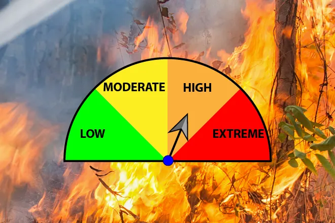
Heat and wind raise fire concerns
No Red Flag Warning or fire weather watch was in effect for Prowers County as of late Sunday, and the Pueblo office listed no watches, warnings or advisories. Even so, the combination of temperatures near 99, gusts to 40 mph and dry afternoon air will support elevated fire danger across the Lamar area on Monday. Residents should use caution with equipment, vehicles parked over dry grass and any outdoor burning.
Lamar, Colo. — Five-day forecast (Sept. 7-11, 2026)
Source: National Weather Service, Pueblo — Issued Sept. 6, 2026
| Period | Sky Conditions | High/Low | Wind |
|---|---|---|---|
| Monday | Mostly sunny, 10% chance of evening storms | 99 | South-southwest 15 to 25 mph, gusts to 40 mph |
| Monday Night | Mostly cloudy early, becoming mostly clear | 68 | South 15 to 20 mph, gusts to 40 mph |
| Tuesday | Sunny | 95 | Southwest 5 to 10 mph, becoming northeast in the afternoon |
| Tuesday Night | Partly cloudy, 40% chance of storms | 64 | East 5 to 10 mph, becoming north after midnight |
| Wednesday | Mostly sunny, 20% chance of afternoon storms | 89 | North 5 to 15 mph, becoming east in the afternoon |
| Wednesday Night | Partly cloudy, 30% chance of storms | 61 | East 5 to 10 mph |
| Thursday | Sunny | 89 | Southeast 5 to 10 mph |
| Thursday Night | Mostly clear, 10% chance of evening storms | 62 | Southeast 5 to 15 mph |
| Friday | Sunny | 94 | West 5 to 10 mph, becoming northeast in the afternoon |
| Friday Night | Mostly clear | 63 | East-southeast 5 to 10 mph |
(Kiowa County Press)
Tuesday and Wednesday
The heat holds Tuesday with sunny skies and a high near 95, though winds ease to 5 to 10 mph and turn to the northeast during the afternoon. Rain chances rise Tuesday night, with a 40 percent chance of showers and thunderstorms before 3 a.m. and a low around 64.
Wednesday is the coolest day of the stretch, mostly sunny with a high near 89 and a 20 percent chance of showers and thunderstorms after noon. North winds of 5 to 15 mph turn easterly by afternoon. A 30 percent chance of storms continues Wednesday night under a low near 61.
Extended outlook
Temperatures climb again heading into the weekend. Thursday is forecast sunny and near 89 with a low around 62, and Friday returns to the mid-90s under sunny skies. Pueblo forecasters said an upper-level ridge is expected to flatten through the week, with troughing possibly influencing southeastern Colorado by the weekend, and cautioned that uncertainty remains high for Friday and Saturday.
Anyone spending Labor Day outdoors should plan for extreme afternoon heat, drink water regularly and take breaks in the shade.