Rain, snow, wind across eastern Colorado Sunday morning

People across Colorado’s eastern plains awoke Sunday morning to the expected rain, snow, and strong winds as two storm systems moved across the area overnight.
Temperatures stayed at or just above freezing in the southeast, leading to wet snow in counties along the border with Kansas, while rain was more common further west.
The Colorado Department of Transportation reported a mix of wet or snowy roads for the southern plains, while the northeast saw snowy and icy conditions. Plows are out across much of the state.

Colorado Department of Transportation snow plow locations as of 5:00 a.m. December 24, 2023. NWS
For Eads in Kiowa County, the temperature at midnight was 37, falling to 30 just before 5:00 a.m. Winds were gusting from the northwest up to 30 miles per hour during the early morning hours before dropping to gusts of 20 mph after 3:00 a.m. About an inch of wet snow fell overnight.
At Cheyenne Wells in Cheyenne County, the temperature at midnight was 40 degrees, falling to 28 just before 5:00 a.m. Wind gusts approaching 40 mph were recorded overnight. Just under one-tenth inch of rain was recorded before precipitation turned to snow.
Snow will taper off through the morning as storms exit the state to the northeast into Kansas and Nebraska. Heaviest amounts remain along the state line in eastern Phillips, Sedgwick, Yuma, and Kit Carson counties.
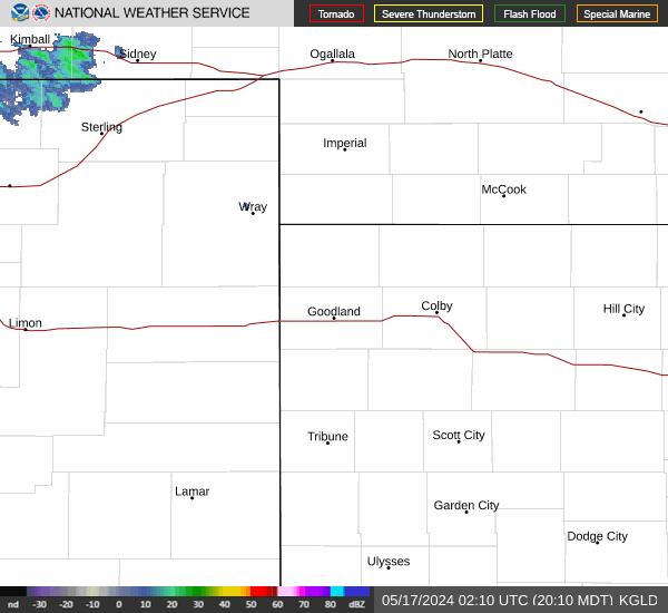
Yuma and Kit Carson counties are under a winter storm warning through 5:00 p.m. Sunday, with an additional 1 to 6 inches of snow possible throughout the day. Higher amounts are possible along the Highway 385 corridor from Wray to Burlington. Wind gusts up to 50 mph could produce localized blizzard conditions, greatly reducing visibility and creating extremely hazardous travel conditions. Snow squalls – intense bursts of heavy snow – are also possible in the area.

Hazardous weather watches, warnings, and advisories in Colorado as of 5:30 a.m. December 24, 2023. NWS
For surrounding counties in northeast and east central Colorado, a winter weather advisory remains in effect until 11:00 a.m. Sunday. Gusts up to 55 mph are possible, along with total snow accumulation of 1 to 4 inches.
In Colorado’s mountains, winter weather advisories and storm warnings are also in effect Sunday morning.
The storm exiting Colorado has prompted a blizzard for central Nebraska, stretching into southeast South Dakota.