Spring in Colorado: Hail, tornadoes, snow and more Sunday
© mishabokovan - iStock-898453682
Colorado’s spring weather is known for its variety of conditions across the vastness of the state, and Sunday will be a prime example.
Northeast Colorado will see most of the severe spring weather action, with enhanced risk for strong to severe thunderstorms, hail, and tornadoes later in the day. The most intense conditions are expected north of Interstate 70, focusing on Sedgwick, Phillips, Yuma, Washington, Morgan, and Logan counties. A slight risk of severe weather exists for counties west and south of that area.
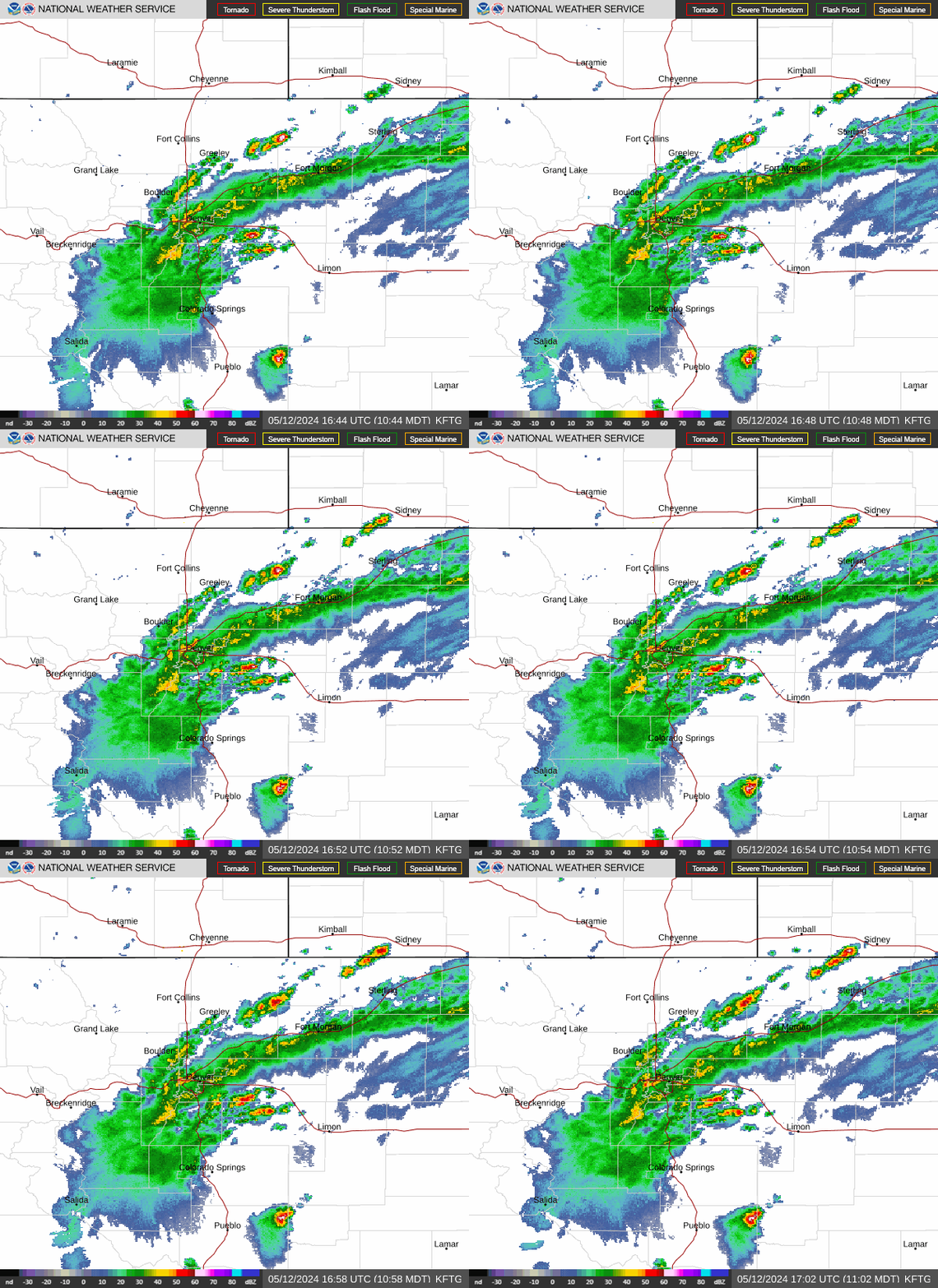
Hail is likely, with potential for two-inch or greater hail in the far northeast.
While large hail poses the greatest risk, isolated tornadoes and localized flooding are also possible, particularly between 2:00 and 9:00 p.m. Sunday. Storms will generally move from the southwest to the northeast.
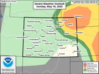
Colorado Severe Weather Outlook for May 18, 2025, as of 4:45 a.m. - NOAA
A potential limiting factor is cloud cover. Early Sunday morning, cloudy conditions were filling in across the area, however most guidance suggests clouds will dissipate, allowing for the severe storm development later in the day.
Warmer and drier conditions are expected to develop starting Tuesday, continuing into the latter portion of the week.
Most of the mountain areas of Colorado will be under a winter weather advisory beginning at 6:00 a.m. Sunday, continuing through 6:00 a.m. Monday. Four to 10 inches of snow is expected above 9,500 feet, along with wind gusts to 45 miles per hour, creating hazardous travel conditions. Conditions are predicted to intensify as the day progresses. Mountain passes could see slick travel conditions.
Western valleys are expected to see rain, as well as temperatures below normal through Monday before returning to near-normal levels for the middle of the week.
A warmer and drier pattern sets in for western Colorado later in the week, with temperatures predicted to reach five to 10 degrees above normal by Friday, prompting concerns about increased fire potential for the drought-plagued portion of the state.
Fire conditions are also expected to be elevated in southeast Colorado Sunday, reaching from Pueblo County across the region to Baca County, and continuing into Kansas, Oklahoma, Texas, and New Mexico. Windy conditions are also forecast across the plains, with gusts up to 50 mph expected ahead of a cold front. Temperatures are forecast to be above normal, with parts of Kiowa, Bent, Prowers, and Baca counties set to reach to mid- to upper 80s before dropping to more seasonable highs to start off the week.
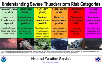
Severe weather outlook category descriptions. Courtesy NWS.


