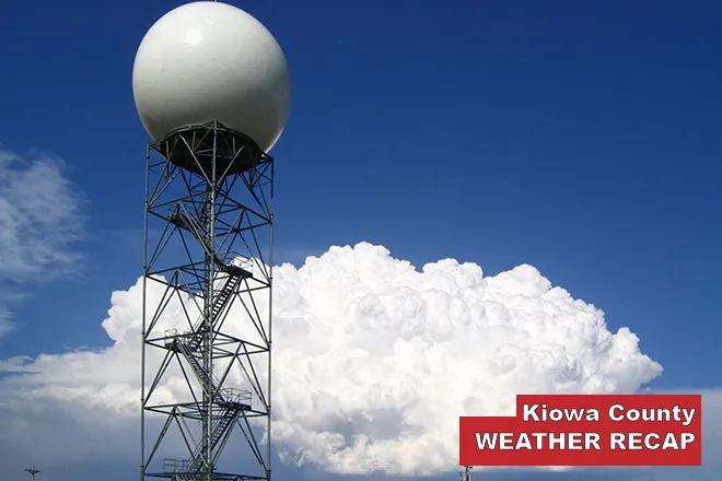
Cheyenne Wells to see warm, windy end to week before Saturday showers, cooler air

Cheyenne Wells and Cheyenne County will see sunny, mild weather Wednesday and Thursday before winds pick up Friday and a cold front brings showers and cooler air over the weekend, according to the National Weather Service in Goodland, Kan.
Wednesday brings sunshine and a high near 75 degrees, with a light northwest wind around 5 mph turning east in the afternoon. Wednesday night is partly cloudy with a low near 51.
Thursday is mostly sunny with a high near 79 and a south wind of 5 to 15 mph, with gusts as high as 30 mph. Friday is forecast to be mostly sunny, windy and a degree cooler, with a high near 78.
Above-normal temperatures through Friday
A meteorologist with the National Weather Service forecast office in Goodland wrote in Tuesday's Area Forecast Discussion that above-normal temperatures are expected through the rest of the work week, with precipitation chances returning next weekend.
The discussion said winds Friday are expected to run 20 to 30 mph, with gusts possibly topping 40 mph from the south and the strongest winds favored along the U.S. 385 corridor. Patchy fog is possible early Wednesday, though the forecaster said the best chance of dense fog is in southwest Nebraska.
The Goodland office lists no watches, warnings or advisories for Colorado as of Tuesday afternoon, and no Red Flag Warning is in effect for Cheyenne County.
Cheyenne Wells, Colo. — Five-day forecast (Oct. 21–25)
Source: National Weather Service, Goodland, Kan. — Issued Oct. 20, 2026, 4:41 p.m. MDT
| Period | Sky Conditions | High/Low | Wind |
|---|---|---|---|
| Wednesday | Sunny | 75 | NW around 5 mph, becoming E in the afternoon |
| Wednesday Night | Partly cloudy | 51 | S around 5 mph |
| Thursday | Mostly sunny | 79 | S 5–15 mph, gusts to 30 mph |
| Thursday Night | Mostly cloudy, breezy | 57 | S 15–20 mph, gusts to 35 mph |
| Friday | Mostly sunny, windy | 78 | Windy; S 20–30 mph, gusts over 40 mph possible |
| Friday Night | Partly cloudy, breezy | 53 | Breezy |
| Saturday | Partly sunny, breezy; showers and possible thunderstorm | 63 | Breezy; 60% chance of precipitation |
| Saturday Night | Mostly cloudy, showers likely and possibly a thunderstorm | 42 | 70% chance of precipitation |
| Sunday | Partly sunny; showers possible | 55 | 50% chance of showers |
| Sunday Night | Mostly cloudy; showers possible | 42 | 40% chance of showers |
(Kiowa County Press)
Thursday and Friday
Thursday night turns breezy, with south winds of 15 to 20 mph, gusts as high as 35 mph and a mild low near 57 as clouds thicken. Friday stays mostly sunny and windy, with a high near 78. Friday night is partly cloudy and breezy with a low near 53.
Strong south winds Friday could make travel difficult for high-profile vehicles on area highways and blow around unsecured items.
Weekend outlook
A cold front is expected to move through early Saturday, dropping highs to near 63. Showers are likely Saturday, with a 60 percent chance by day and 70 percent Saturday night, and a thunderstorm is possible. Saturday night's low is near 42.
The Goodland forecaster said confidence in showers is medium to high but confidence in thunderstorms is low, and that any rain is favored east of Kansas Highway 25. Sunday brings a 50 percent chance of showers and a high near 55, with a low near 42 Sunday night.
Updated forecasts are available from the National Weather Service in Goodland at weather.gov/gld.