Continued warming Monday - Kiowa County weather forecast for July 8, 2019

Warming and a chance for thunderstorms continues Monday across Kiowa County.
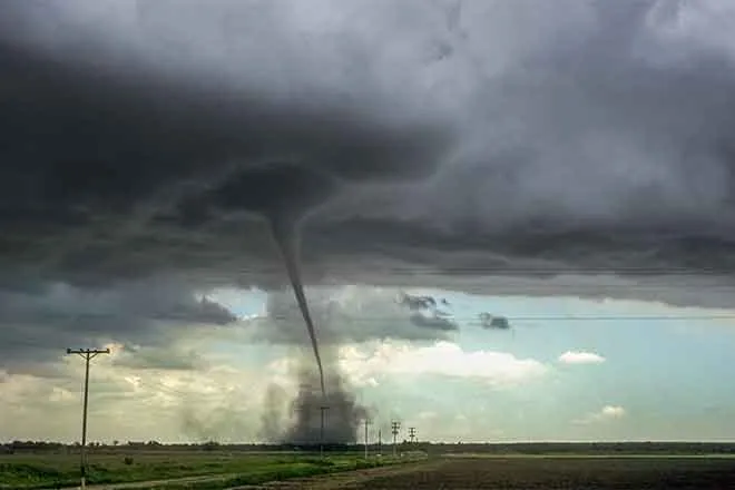
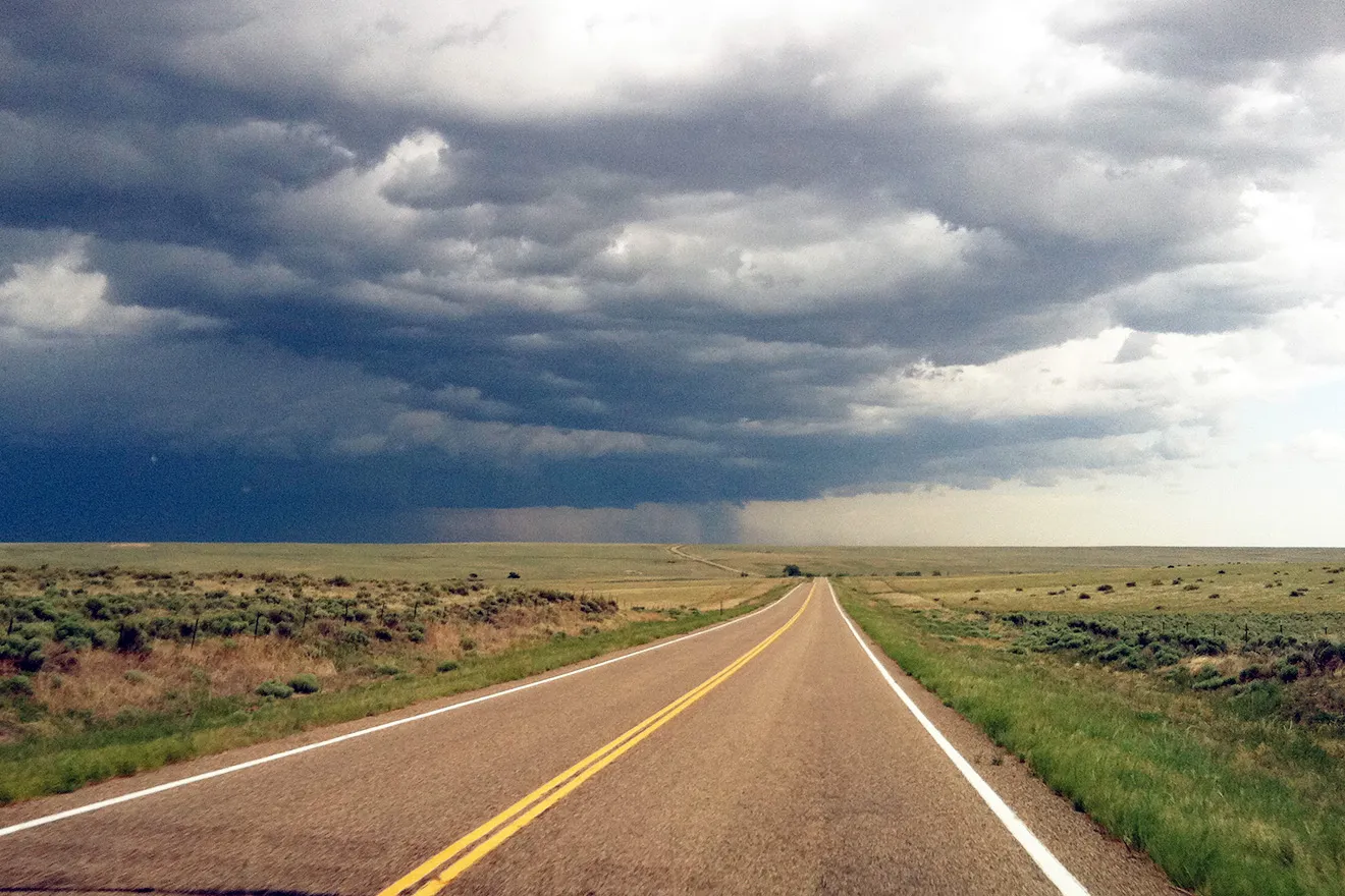
Storms are possible mainly after 5:00 p.m., with partly sunny skies earlier in the day. Most areas can expect to receive less than one-tenth inch of rain. Greater amounts are possible where thunderstorms do form. Hail and even a weak tornado are possible for northeast Kiowa County, however the risk is more significant further north.

<
Monday’s high temperatures are predicted to be in the upper 80s before falling to around 60 overnight. Highs should hover around 90 through Thursday before reaching to the mid-90s Friday through the weekend.
Currently, KiowaCountyPress.net Live Weather from downtown Eads shows [weather:currwinddir] wind at [weather:currwindspeed] mph. Late Sunday afternoon, winds were gusting to 21. The current temperature is [weather:currtemp], with [weather:currrain] inches of rain so far today. Yesterday, 0.00 inches of rain was recorded in Eads, with an unofficial high of 88. The strongest wind gust since midnight was [weather:todaymaxwindspeed] mph, while the high temperature for the day so far was [weather:todayhightemp] at [weather:todayhightemptime].
Elsewhere in Colorado, minor flooding continues for a few north central streams and rivers as extended seasonal snowmelt wraps up for the year. Far northeast counties may see some stronger thunderstorms in the afternoon.
Weather information updated throughout the day is available at http://weather.KiowaCountyPress.net.
Kiowa County Weather Outlook for July 8, 2019 | |||||
Community | High | Low | Chance of Precip | Wind Gust | Direction |
Arlington | 91 | 59 | 30 | 10 | SSE |
Haswell | 88 | 58 | 30 | 10 | S |
Eads | 89 | 59 | 30 | 10 | SE |
Chivington | 89 | 59 | 40 | 15 | S |
Sand Creek Massacre NHS | 88 | 59 | 40 | 15 | S |
Brandon | 88 | 59 | 40 | 15 | S |
Sheridan Lake | 88 | 60 | 40 | 15 | S |
Towner | 87 | 60 | 40 | 15 | S |