Heat builds near 100 for Lamar and Prowers County after Friday storm chance

Lamar and Prowers County face building summer heat, with highs climbing toward the upper 90s this weekend after a chance of showers and thunderstorms Friday evening. Friday brings sunny skies and a high near 94, followed by highs near 97 Saturday and near 98 Sunday as a strong ridge of high pressure settles over the region.
Friday will be sunny with a high near 94 and north-northeast winds of 5 to 10 mph becoming easterly at 10 to 15 mph in the afternoon. Friday night carries a 50 percent chance of showers and thunderstorms, mainly before 8 p.m., with partly cloudy skies and a low around 61.
Eric Petersen, a meteorologist with the National Weather Service in Pueblo, wrote in Friday's Area Forecast Discussion that "models suggest Baca/Prowers Counties at greatest risk for a severe storm," as the best combination of wind shear, instability and low-level moisture sets up over the far southeastern plains.
Storm risk Friday afternoon and evening
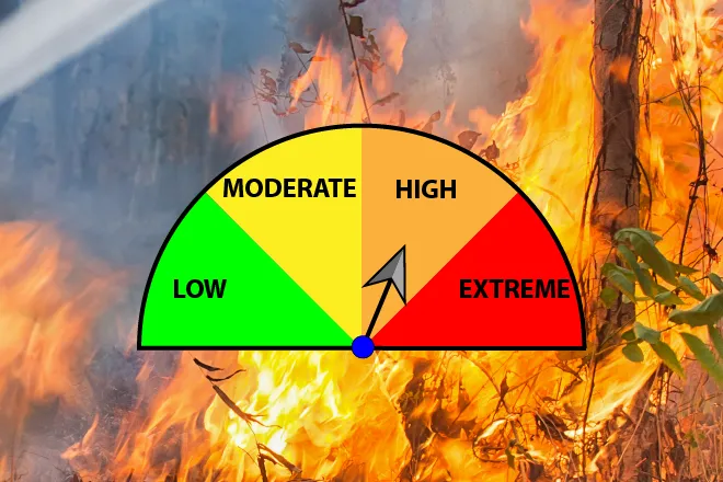
Prowers County sits in the zone of highest severe weather potential Friday afternoon and evening, with storms capable of large hail and damaging wind gusts. Forecasters expect the activity to push east into Kansas by around midnight. Beyond Friday, the story turns to heat: highs near or above the upper 90s combine with gusty southeast winds early next week. While no fire weather warnings were in effect Friday morning, the combination of high heat, dry fuels and breezy afternoons warrants caution.
Lamar, Colo. — Five-day forecast (July 10-14, 2026)
Source: National Weather Service, Pueblo, Colo. — Issued July 10, 2026
| Period | Sky Conditions | High/Low | Wind |
|---|---|---|---|
| Friday | Sunny | High 94 | N-NE 5-10, then E 10-15 |
| Friday Night | Storms likely early, partly cloudy | Low 61 | E-SE 10-15 mph |
| Saturday | Sunny | High 97 | W-SW, then E-SE 10-15 |
| Saturday Night | Mostly clear | Low 63 | E-SE 5-15 mph |
| Sunday | Sunny | High 98 | E-SE 5-15 mph |
| Sunday Night | Mostly clear | Low 64 | SE 10-15 mph |
| Monday | Sunny, breezy | High 97 | SE 15-20, gusts 35 |
| Monday Night | Clear, breezy | Low 63 | SE 15-20, gusts 30 |
| Tuesday | Sunny, breezy | High 96 | SE 15-20, gusts 35 |
| Tuesday Night | Clear, breezy | Low 63 | E-SE 15-20, gusts 30 |
(Kiowa County Press)
Saturday and Sunday
Saturday will be sunny and hot with a high near 97 as winds turn to the east-southeast at 10 to 15 mph. Saturday night stays mostly clear with a low around 63. Sunday is the warmest day of the stretch, with sunny skies and a high near 98, southeast winds increasing to 10 to 15 mph in the afternoon and an overnight low around 64.
Extended outlook
The heat holds into the new week. Monday brings sunny skies and a high near 97, and Tuesday a high near 96, both with breezy southeast winds of 15 to 20 mph and gusts as high as 35 mph. Overnight lows hold in the low 60s with breezy conditions continuing.
With temperatures near 100 and gusty afternoon winds, residents should stay hydrated, limit strenuous outdoor activity during the heat of the day and check on elderly neighbors. Dry fuels and wind also raise the risk of fire, so caution with any open flame is advised.