July 2023 Arkansas River Report

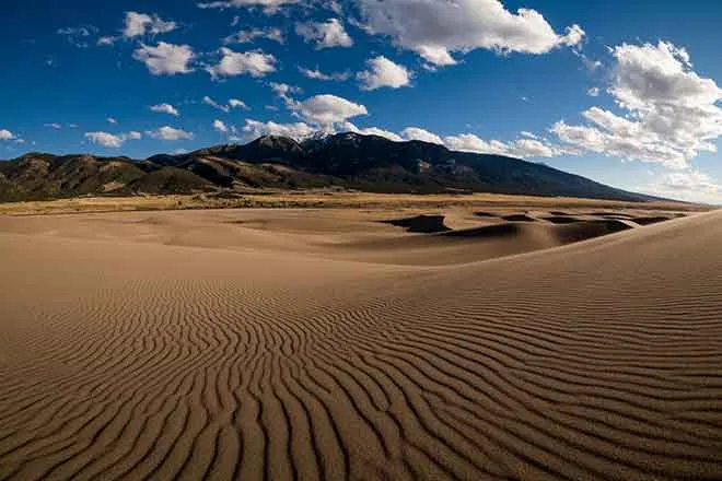
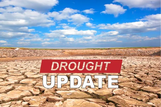
After ending June drought-free, Colorado has seen drought conditions creep back into the southwestern quarter of the state, according to the current U.S. Drought Monitor report. The National Weather Service three-month outlook projects above-normal temperatures through October and below-normal precipitation for the western half of Colorado.
Precipitation
The CoCoRaHS (Community Collaborative Rain, Hail and Snow) Network reports the following precipitation amounts, in inches, for the month of July in the Arkansas River Basin in Colorado:
- Leadville - 0.26
- Buena Vista - 0.04-0.20
- Salida - 0.60
- Westcliffe - 0.51-0.80
- Cañon City - 1.04-1.38
- Walsenburg - 0.98-1.62
- Trinidad - 2.03-2.85
- Pueblo - 0.68-2.13
- Colorado Springs - 2.10-5.42
- Rocky Ford - 2.62
- Pritchett - 4.56
- Lamar - 4.23
Reservoir Storage
The Bureau of Reclamation reports that Pueblo Reservoir water increased from 223,029 acre-feet at the end of July to a current level of 228,345 acre-feet (70.7% full). The Turquoise Lake water level dropped from 124,330 acre-feet to 114,100 acre-feet (88.2% full) in July as snowmelt and West Slope water imports tapered off and water was moved downstream in part to support of recreational boating. Twin Lakes Reservoir levels increased in July, from 125,069 to 129, 492 acre-feet (91.8% full). The water level in John Martin Reservoir is up slightly from a month ago at 85,623 acre-feet.
River Flows
Over the past month, the Arkansas River flow near Leadville has dropped from 121 to 86.4 cfs. Downstream, the gauge below Granite reads 835 cfs thanks to Bureau of Reclamation reservoir releases. The Wellsville gauge near Salida currently reports 1,020 cfs, well above the Voluntary Flow Program target of 750 cfs.
The flow at Cañon City is currently 1,170 cfs. Below Pueblo Reservoir, flows are 598 cfs. Near Avondale the river is flowing at 1,040 cfs, and the gauge at Rocky Ford reads 552 cfs. The current reading below John Martin Reservoir is 1,180 cfs, and the Lamar gauge reads 722 cfs.
Calling Water Rights
Water-rights administration recently got more complicated because the Colorado Attorney General's Office is insisting that Ark Basin rights be brought in line with state policy. Division 2 Engineer Rachel Zancanella is engaging water stakeholders across the basin in a conversation about how best to address this issue because it will affect water-rights priorities in the basin.
Zancanella said she wants to discuss the ramifications of the change for the next year so that all stakeholders can have the opportunity to weigh in. In the meantime, water-rights holders who could surrender priority will be listed as "authorized diversions" instead of "calls."
Under the new water-rights administration, the Arkansas Basin currently has 13 calling water rights and nine authorized diversions.
The most senior calling right is the 1865 Hoehne Ditch on the Purgatoire River, followed by the 1866 Dan Mahan Ditch right on Huerfano River. Another 1866 water right is next in priority, the Gonzales Ditch on the Apishapa River.
The 1867 Coleman Ditch right is calling for Hardscrabble Creek water, followed by the 1872 Drury Ditch on Hay Creek. The Waggoner Ditch is calling for Stout Creek water under its 1880 water right, followed by the 1881 Dotson Ditch No. 1 right on the Saint Charles River.
Next up, the 1882 Hoosier Ditch right is calling for water from the North Fork of the South Arkansas River, followed by the 1882 Missouri Park Ditch right on the South Arkansas River. On the Arkansas River mainstem, the Amity Canal and the Fort Lyon Canal are calling for water under 1887 water rights.
The nine authorized diversions now in priority date to1887 with the Bessemer Ditch right. Remaining authorized diversions are:
- Musgrove Ditch (1903)
- Bison Park Reservoir (1903)
- Helena Ditch (1912)
- Rock Creek Ditch (1912)
- Colorado Gulch Ditch (1912)
- Joseph Dunn Ditch (1912)
- Lake Creek Ditch (1912)
- Sunnyside Park Ditch (1927)