Middle Mesa Fire near Colorado-New Mexico border burns more than 2,000 acres

A wildfire burning near the Colorado Border has quickly grown to more than 2,000 acres, according to Forest Service maps and statements.
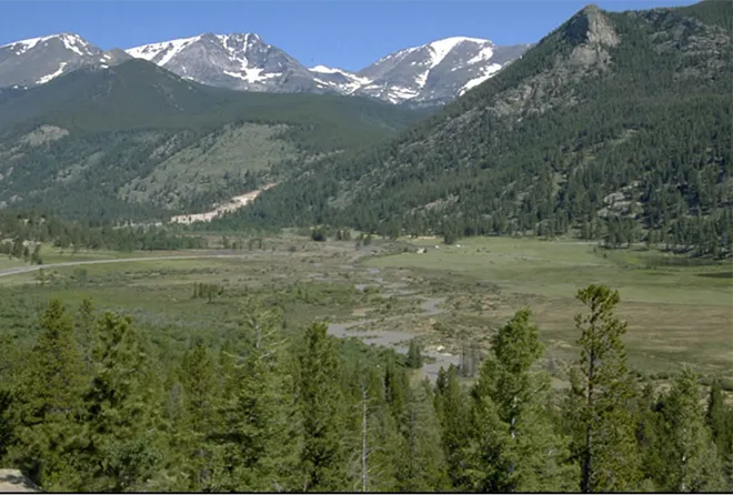
Lightning ignited the Middle Mesa Fire August 1 in a swath of the Carson National Forest about 20 northeast of Navajo Dam. It’s difficult to contain due to “extremely low fuel moistures” and low humidity, according to a news release.

© iStock - Toa55
The latest infrared map captured overnight puts the fire at roughly 2,115 acres. That’s a growth of more than 1,000 acres since Sunday. More than 140 personnel are tackling the blaze via airplane and on the ground in hopes of slowing its spread.
It’s burning in a remote area roughly a mile from the Colorado border, but natural gas wells and pipelines sit nearby, according to the Forest Service. According to an operations map, about a dozen oil and gas wells are within the existing fire perimeter, with dozens more in the area.
“Fire managers request that the public avoid the northern reaches of the [Jicarilla] ranger district for safety of themselves and fire crews,” according to the news release. The Rio Arriba County Sheriff’s Office has placed private inholdings and properties in the fire’s path on “set” evacuation status.
Forecasters predict “Hot, very dry, and unstable conditions” this week for firefighters tackling the fire. The fire is currently 0 percent contained.
According to the Southwest Coordination Center, 725 wildfires have burned more than 180,000 acres in New Mexico so far this year. Naturally caused wildfires, which includes lightning, are responsible for more than 150,000 acres of that.