Severe storms possible Saturday in Cheyenne County after a mild Friday

Cheyenne County faces a threat of severe thunderstorms Saturday — with large hail, damaging wind gusts, a few tornadoes and locally heavy rain all possible — after a milder, partly sunny Juneteenth with a high near 88 in the Cheyenne Wells area.
Friday becomes mostly sunny with a high near 88 and south winds of 10 to 15 mph gusting to 30 mph. Skies stay partly cloudy Friday night with a low around 58, and isolated storms are possible Friday evening, mainly north of Interstate 70.
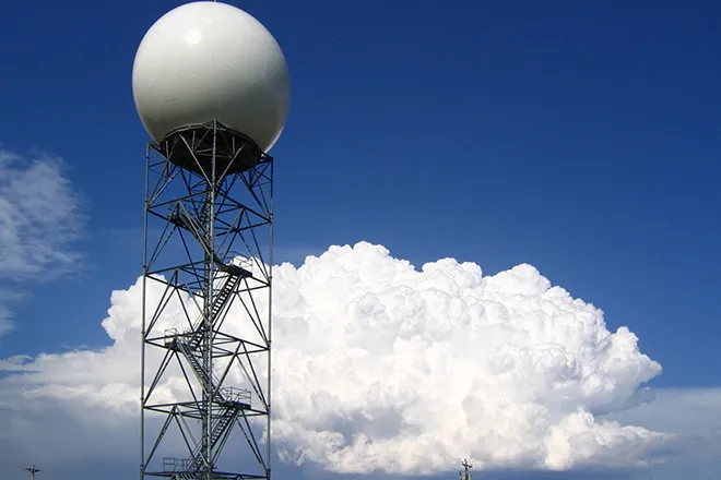
"Large hail, damaging wind gusts, and tornadoes are possible," a meteorologist with the National Weather Service forecast office in Goodland, Kan., wrote of Saturday in Friday's Area Forecast Discussion, which also flagged a chance of flash flooding.
Saturday's severe weather threat
Storms are expected to develop during the afternoon and evening Saturday as a surface low and a reinforcing upper-level trough move into the region. The Goodland office described a favorable environment for strong to severe storms, with ample instability and 40 to 45 mph of deep-layer wind shear supporting large hail, wind gusts above 60 mph, a few tornadoes and locally heavy rain.
The most concentrated severe and flash-flooding threat is expected across the northeastern part of the forecast area, but storms are possible areawide, including near the Colorado border. No watches or warnings were in effect for Cheyenne County as of Friday; conditions will be monitored closely as the system approaches.
Cheyenne Wells, Colo. — Five-day forecast (June 19–23)
Source: National Weather Service, Goodland, Kan. — Issued June 19, 2026
| Period | Sky Conditions | High/Low | Wind |
|---|---|---|---|
| Friday | Becoming sunny | 88 | S 10–15 mph; gusts to 30 mph |
| Fri. night | Partly cloudy | 58 | SE 10–15 mph |
| Saturday | Mostly sunny, chance of storms; breezy | 93 | S 10–15 mph increasing to 20–25 mph; gusts to 35 mph |
| Sat. night | Chance of storms, then partly cloudy | 59 | S 15–20 mph becoming N 10–15 mph; gusts to 35 mph |
| Sunday | Mostly sunny, chance of storms | 89 | N around 10 mph becoming E |
| Sun. night | Chance of storms, then slight chance of showers | 53 | Light |
| Monday | Mostly sunny, slight chance of storms | 80 | Light |
| Mon. night | Chance of storms, partly cloudy | 53 | Light |
| Tuesday | Mostly sunny, chance of storms | 79 | Light |
(Kiowa County Press)
Saturday and Sunday
Saturday turns mostly sunny and breezy with a high near 93 and a 30 percent chance of storms developing in the afternoon, increasing to 40 percent Saturday night. South winds of 20 to 25 mph could gust to 35 mph.
Sunday remains active, mostly sunny with a high near 89 and a 40 percent chance of showers and thunderstorms, mainly in the afternoon and evening.
Extended outlook
An unsettled pattern continues into next week, with daily chances of showers and thunderstorms Monday through Wednesday and highs easing into the upper 70s to low 80s. Some storms could again be strong, and repeated rounds of rain may raise localized flooding concerns.
Residents should keep a way to receive warnings Saturday and be ready to take shelter quickly if severe storms develop.