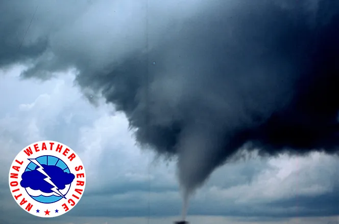
Soaking rain likely Wednesday night and Thursday for Eads and Kiowa County

Rain and thunderstorms are in the forecast for Eads and Kiowa County through Thursday, with the heaviest rain expected Wednesday night into Thursday morning. Drier, warmer weather follows Friday and into the weekend.
Wednesday brings mostly cloudy skies, breezy south winds of 20 to 25 mph with gusts as high as 40 mph, and a high near 75. There is a 40 percent chance of showers and thunderstorms, mainly after 11 a.m. Rain amounts during the day should be under a tenth of an inch, except in thunderstorms.
"Given the likely efficient rain producers from this setup, flooding can't be ruled out, especially in areas that have already received moisture over the past week or so," a meteorologist with the National Weather Service in Pueblo wrote in Wednesday's Area Forecast Discussion.
Heaviest rain arrives overnight
Rain chances climb to 80 percent Wednesday night, with showers and possibly a thunderstorm after 11 p.m. The weather service expects a quarter to half an inch of rain overnight, with another quarter to half an inch possible Thursday. That adds up to as much as an inch in some spots. The low Wednesday night will be around 58.
Pueblo forecasters said moist southwesterly flow and a series of weather disturbances will bring widespread showers and weak thunderstorms, with the most rain overnight and across the far eastern plains. A Flood Watch is in effect for part of the Pueblo forecast area, but it does not cover Kiowa County. No watches, warnings or advisories are in effect for Eads, and the wet pattern means no fire weather headlines. The Pueblo office continues to report moderate to exceptional drought across southeastern Colorado.
Eads, Colo. — Five-day forecast (Sept. 23-27, 2026)
Source: National Weather Service, Pueblo — Issued 12:31 a.m. MDT Sept. 23, 2026
| Period | Sky Conditions | High/Low | Wind |
|---|---|---|---|
| Wednesday | Mostly cloudy; 40% showers, storms | 75 | S 20-25 mph, gusts to 40 mph |
| Wednesday Night | Showers, storms likely; 80% | 58 | SSE 15-20 mph, gusts to 30 mph |
| Thursday | Showers, storms; 80% | 73 | SSW 15-20 mph, gusts to 30 mph |
| Thursday Night | Mostly cloudy; 40% storms | 54 | S 5-10 mph, becoming WNW after midnight |
| Friday | Mostly sunny | 77 | WNW 5-10 mph, becoming SSE in the afternoon |
| Friday Night | Partly cloudy; 20% storms | 53 | SSE 5-10 mph, becoming W after midnight |
| Saturday | Sunny | 83 | WNW around 5 mph, becoming ESE in the afternoon |
| Saturday Night | Mostly clear | 54 | S around 5 mph, becoming calm |
| Sunday | Mostly sunny | 84 | Light and variable, becoming SSE 10-15 mph |
| Sunday Night | Partly cloudy | 58 | SE 10-15 mph |
(Kiowa County Press)
Thursday and Friday
Thursday brings showers and possibly a thunderstorm, mainly before noon, then a chance of showers and storms in the afternoon. The high will be near 73, with south-southwest winds of 15 to 20 mph gusting to 30 mph. Rain chances fall to 40 percent Thursday night, mainly before midnight, with a low around 54.
Friday turns mostly sunny with a high near 77 and light winds. There is a 20 percent chance of a shower or storm Friday evening, with a low around 53.
Extended outlook: Saturday and Sunday
Sunny, dry weather settles in for the weekend. Saturday's high will be near 83, with a low around 54 Saturday night. Sunday will be mostly sunny with a high near 84, and south-southeast winds will pick up to 10 to 15 mph in the afternoon. Sunday night will be partly cloudy with a low around 58.
Forecasters expect another storm system early next week, with a chance of showers Monday night and Tuesday and cooler, windy weather on Tuesday.
Rain may fall heavily at times, so drivers should use caution on rural roads Wednesday night and Thursday and should never drive through flooded low spots.