Storms return to southeast Colorado Wednesday, Thursday

After weeks of periodic rain, and a brief dry spell which started Sunday, thunderstorms are expected to return to Colorado’s southeast plains - including Kiowa and Cheyenne counties - Wednesday.
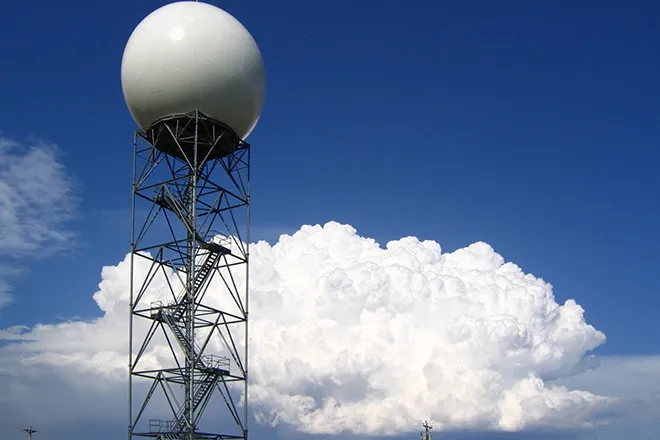
The National Weather Service is predicting afternoon thunderstorms – some potentially severe – which could bring heavy rain, one-inch hail, and wind gusts up to 60 miles per hour to the far eastern plains. Most storms are expected to occur from mid-afternoon into the early evening hours.
Non-severe showers and thunderstorms are predicted to continue overnight Wednesday.
Similar conditions are expected Thursday before returning to a drying trend and warmer temperatures heading into the final week of June.
High temperatures Tuesday and Wednesday are predicted to reach the low 90s before ahead of a drop to the low 80s Thursday and Friday, then increasing slightly to the mid-80s through the weekend.
Rain during May and June has significantly improved drought conditions in eastern Colorado. Overall, 93 percent of the state is free from drought conditions. Southern Baca County continues to show a small area moderate drought in this week’s report from the National Drought Mitigation Center. One year ago, 82 percent of the state was in some level of drought, with 16 percent of state in extreme or exceptional conditions.