Arkansas River Report – August 11, 2022

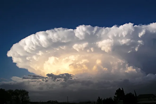
Monsoon rains have lifted a swath of the Arkansas River Basin out of drought conditions – from southern Chaffee County to Otero County, including parts of Fremont, Custer and Huerfano counties – according to today's U.S. Drought Monitor report. The report categorizes most of the basin as abnormally dry with extreme drought persisting only in a small portion of southern Baca County.
Precipitation
The CoCoRaHS (Community Collaborative Rain, Hail and Snow) Network reports the following precipitation amounts for the past week:
- Leadville - 0.29 inch.
- Buena Vista - 0.15 inch.
- Salida - 0.36 inch.
- Westcliffe - 0.33 inch.
- Cañon City - 0.32 inch.
- Walsenburg - 0.44 inch.
- Trinidad - 0.92 inch.
- Pueblo - 0.08-1.63 inches.
- Colorado Springs - 0.13-0.80 inch.
- Rocky Ford - 0.17 inch.
- Pritchett - 0.63 inch.
- Lamar - 0.0 inch.
While CoCoRaHS does not have a gauge in Poncha Springs, locally heavy rainfall caused flash flooding in the community late last week, and local residents reported more than 3 inches of rainfall in less than 40 minutes.
Reservoir Storage
U.S. Bureau of Reclamation data shows an incremental increase in Pueblo Reservoir water storage to 185,011 acre-feet, or 57.3% full. Water storage in Turquoise Lake decreased to 106,502 acre-feet or 82.3% full. Twin Lakes storage decreased to 102,047 acre-feet, or 72.4% full, as the Bureau continues to release Fry-Ark Project water in support of the Voluntary Flow Management Program (VFMP). Recent rainfall increased water stored in John Martin Reservoir to 15,394 acre-feet, according to the U.S. Army Corps of Engineers.
River Flows
Arkansas River flows near Leadville declined to 41.8 cfs this week, while the gauge below below Granite currently registers 623 cfs. Flows at the Wellsville gauge are at 730 cfs, in line with the VFMP target of 700 cfs. Flows at Cañon City have increased to 718 cfs and are 218 cfs below Pueblo Reservoir. The gauge near Avondale reports 385 cfs, and the gauge near Rocky Ford reports 258 cfs after peaking at 565 cfs Wednesday. Flows are 252 cfs below John Martin Reservoir and 22.6 cfs at Lamar.
River Calls
Calling water rights in the Arkansas Basin have dropped from 16 to 14 this week. In addition to the Arkansas River Compact call at the Kansas state line, calls on the mainstem are from the Catlin Canal (1884 priority), the Amity Canal (1887) and the X-Y Irrigating Ditch (1889). The most senior calling water rights are the O'Brien Ditch (1865) on Fourmile Creek, the Gonzales Ditch (1866) on the Apishapa River, the Coleman Ditch (1867) on Hardscrabble Creek and the Pulaski Ditch (1868) on the Purgatoire River.
Additional calling water rights include the Hill Ditch (1873) on Howard Creek, the Cottonwood and Maxwell Ditch (1874) on Cottonwood Creek, the Seth Brown Ditch (1876) on Stout Creek, the Dotson Ditch No. 1 (1881) on the St. Charles River, the Hoosier Ditch (1882) on the North Fork of the South Arkansas River and the Bott Ditch (1889) on Muddy Creek.