Arkansas River report – July 11, 2022
The summer monsoon weather pattern continued during the past week, bringing slight improvement to drought conditions across the Arkansas Basin. According to the latest U.S. Drought Monitor report, 1.52 percent of Colorado is no longer experiencing drought, including a small area in southern Chaffee County.
Precipitation
The Community Collaborative Rain, Hail and Snow Network reported the following precipitation amounts for the past week:
- Leadville - 0.63 inch.
- Buena Vista - 0.14-0.48 inch.
- Salida - 0.21 inch.
- Westcliffe - 0.15-0.76 inch.
- Cañon City - 0.03 inch.
- Walsenburg - 0.05-0.28 inch.
- Trinidad - 0.36-0.67 inch.
- Pueblo - 0.23-1.98 inches.
- Colorado Springs - 0.10-1.14 inches.
- Rocky Ford - 2.12 inches.
- Pritchett - 0.52 inch.
- Lamar - 0.37-0.68 inch.
Reservoir Storage
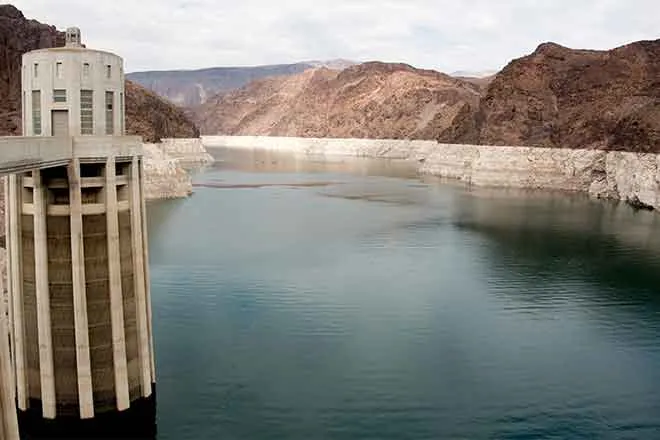
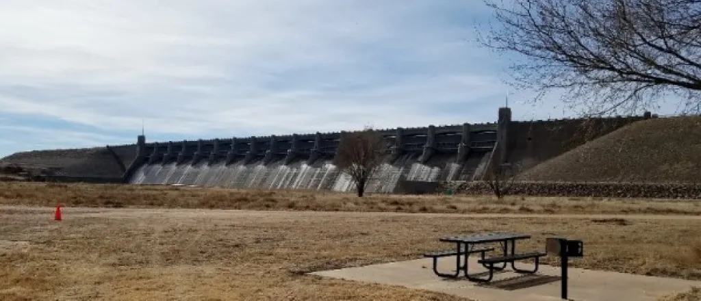
U.S. Bureau of Reclamation reservoir data shows Pueblo Reservoir water storage decreased slightly to 191,096 acre-feet, 59.2 percent full. The volume of water in Turquoise Lake increased since last week to 110,392 acre-feet or 85.3 percent full. Twin Lakes storage decreased to 115,217 acre-feet, 81.7 percent full as the Bureau increased outflows to 340 cfs before cutting back to 290 cfs today. According to the U.S. Army Corps of Engineers, water stored in John Martin Reservoir dropped below 20,000 acre-feet to 19,435.
River Flows
Arkansas River flows near Leadville dropped to 103 cfs this week, while flows below Granite increased to 572 cfs due to increased releases from Twin Lakes. Flows at the Wellsville gauge peaked at 1,030 cfs July 8 but dropped to 826 cfs this morning, above the Voluntary Flow Management Program target. The Cañon City gauge currently reports 724 cfs. Flows below Pueblo Dam exceeded 1,200 cfs last week but are currently 692 cfs. Flows are 1,090 cfs near Avondale, 584 cfs near Rocky Ford, 584 cfs below John Martin Reservoir and 90.4 cfs at Lamar.
River Calls
The Arkansas Basin has 16 active calls, the same number as last week. The four calls on the mainstem are the Amity Canal (1887 priority), the Lamar Canal (1887), the X-Y Irrigating Ditch (1889) and the 1949 Arkansas River Compact call at the Kansas state line. The Titsworth Ditch remains the remains the most senior calling water right in the basin with an 1863 priority date on Fourmile Creek. The Model Ditch on the Purgatoire River (1865), the Hayden Supply Ditch on Greenhorn Creek (1866), and the Jose Marie Vigil Ditch 2 on Trujillo Creek (1867) are the next most senior calling rights, followed by the Coleman Ditch on Hardscrabble Creek (1867). Other calls are for the Upper Huerfano No. 1 on the Huerfano River (1868), the RB Willis Ditch on Wahatoya Creek (1870), the Calf Pasture Ditch on the Cucharas River (1871), the Marmaduke Ditch on Stout Creek (1878), the Dotson Ditch No. 1 on the St. Charles River (1881) and the Hoosier Ditch on the North Fork of the South Arkansas River (1882).
Information provided by the Arkansas River Watershed Collaborative.


