Hot Labor Day weekend ahead for Kiowa County with breezy winds Sunday and Monday

Eads and the rest of Kiowa County head into the Labor Day weekend with temperatures running about 10 degrees above normal, highs in the mid-90s each day and a stretch of breezy south winds arriving Sunday and lasting through the holiday.
Friday brings mostly sunny skies and a high near 96 in Eads, with a south wind of 5 to 15 mph turning to the west during the morning. Skies turn mostly cloudy overnight as a south-southeast wind of 10 to 15 mph holds the low near 64.
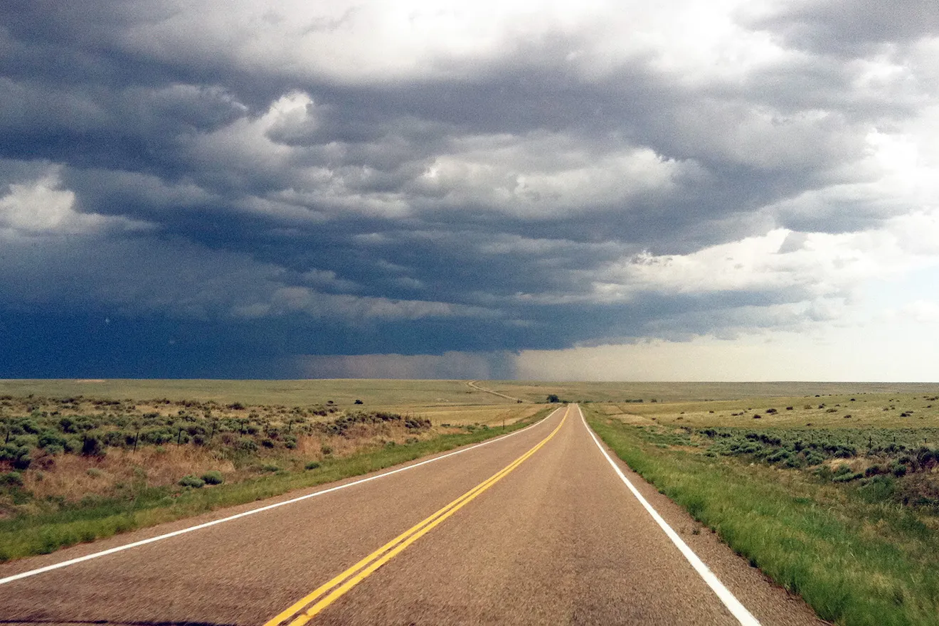
“Remnant moisture from Hurricane Marie as well as monsoonal moisture over Mexico will continue to get drawn up across the Four Corners and into CO, leading to isolated to scattered shower and storm activity starting around midday and lasting into the evening,” a meteorologist with the National Weather Service in Pueblo wrote in Friday’s Area Forecast Discussion. The best chances, forecasters said, sit along the southern border and across the plains south of U.S. Highway 50 — south of Kiowa County.
Above-normal heat, no fire weather warnings
The Pueblo forecast office listed no watches, warnings or advisories in effect Friday morning for any part of its area, including Kiowa County. No Red Flag Warning was in effect.
Even so, forecasters noted highs across the plains running close to 10 degrees above normal, and the weekend pattern brings little relief. The Storm Prediction Center placed the entire Pueblo forecast area under a general thunderstorm outlook for Friday.
Eads, Colo. — Five-day forecast (Sept. 4-8, 2026)
Source: National Weather Service, Pueblo — Issued Sept. 4, 2026
| Period | Sky Conditions | High/Low | Wind |
|---|---|---|---|
| Friday, Sept. 4 | Mostly sunny | High 96 | South 5 to 15 mph, becoming west in the morning |
| Friday night | Mostly cloudy | Low 64 | South-southeast 10 to 15 mph |
| Saturday, Sept. 5 | Mostly cloudy, then gradually sunny | High 94 | South 5 to 15 mph |
| Saturday night | 30% chance of showers and thunderstorms before midnight, then partly cloudy | Low 64 | South-southeast 10 to 15 mph |
| Sunday, Sept. 6 | Mostly sunny and breezy | High 93 | South-southeast 10 to 15 mph, increasing to 20 to 25 mph in the afternoon |
| Sunday night | 10% chance of showers and thunderstorms before midnight, then mostly cloudy | Low 65 | Breezy, south-southeast 15 to 25 mph |
| Monday, Sept. 7 (Labor Day) | Mostly sunny and breezy | High 96 | South around 20 mph, gusting to 35 mph |
| Monday night | 20% chance of showers and thunderstorms before midnight, then partly cloudy | Low 64 | Breezy, south 15 to 20 mph, gusting to 35 mph |
| Tuesday, Sept. 8 | Sunny | High 92 | North-northwest around 10 mph, becoming east-northeast in the afternoon |
| Tuesday night | 20% chance of showers and thunderstorms before midnight, then partly cloudy | Low 62 | East around 10 mph |
(Kiowa County Press)
Saturday and Sunday
Saturday starts mostly cloudy in Eads before gradually turning sunny, with a high near 94 and a south wind of 5 to 15 mph. A 30 percent chance of showers and thunderstorms arrives Saturday evening before midnight, with skies clearing to partly cloudy and a low around 64.
Sunday is mostly sunny with a high near 93, but the wind picks up. A south-southeast wind of 10 to 15 mph increases to 20 to 25 mph in the afternoon. A 10 percent chance of showers and thunderstorms lingers before midnight Sunday night, with mostly cloudy skies, a low around 65 and a breezy south-southeast wind of 15 to 25 mph.
Extended outlook
Labor Day is mostly sunny and breezy in Eads, with a high near 96 and a south wind around 20 mph gusting as high as 35 mph. A 20 percent chance of showers and thunderstorms is possible before midnight, with a low around 64 and gusts continuing to 35 mph.
Tuesday turns sunny with a high near 92 and lighter winds, a north-northwest wind around 10 mph becoming east-northeast in the afternoon. Forecasters expect a healthier moisture tap beginning Monday that increases the coverage and intensity of showers and storms across southeast Colorado through the middle of next week.
Gusts to 35 mph on Sunday and Monday, combined with highs in the mid-90s, will make outdoor burning risky. Residents are urged to check with the Kiowa County Sheriff's Office for any local fire restrictions before burning over the holiday weekend.