Periods of Rain Expected Through the Week

By Chris Sorensen
With drought conditions continuing to improve, chances for rain appear throughout the week to help continue the trend.
Monday, an upper level disturbance moves out of Wyoming in Colorado’s northeast plains. Temperatures will reach into the 80s, and some areas may start to see increased fire risk. Overnight, temperatures fall to the 40s.
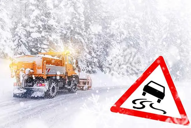
Another upper disturbance moves through Colorado Tuesday, exiting the state Wednesday. The cooler air, combined with increased moisture in the area, is expected to bring widespread rain starting Tuesday afternoon and continuing into the evening. Areas above 6,000 feet may see several inches of snow. High temperatures will be in the 50s and 60s Tuesday, falling to the 30s overnight before returning to a similar level for Wednesday’s high.
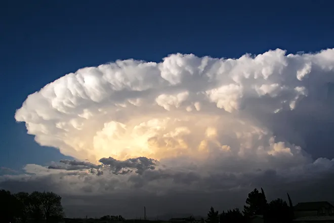
Another disturbance makes its way into Colorado Thursday and Friday. Combined with low level moistures and an upslope flow, periods of moderate to heavy rain are expected.
Cooler air by the start of the weekend may bring a round of snow across the plains as temperatures fall to near freezing for weekend lows.