Prowers County storms Wednesday night give way to a 95-degree Friday

Lamar and the rest of Prowers County face a sunny but storm-tinged Wednesday, a wet Wednesday night and a run into the mid-90s by Friday, according to the National Weather Service in Pueblo.
Wednesday is mostly sunny at Lamar with a high near 90 and a slight, 20 percent chance of showers and thunderstorms between noon and 4 p.m. Winds will be west-northwest at 5 to 15 mph before shifting northeast in the afternoon. Wednesday night carries a 50 percent chance of showers and thunderstorms, mainly after midnight, with a low around 60 and rainfall of a quarter to a half inch possible.
"An interesting scenario develops as the guidance has rather high pops over all of the southeastern plains tomorrow evening and tomorrow night," a meteorologist with the National Weather Service in Pueblo wrote in Tuesday's Area Forecast Discussion, tying the rainfall to a shortwave in developing west-northwest flow aloft.
Heat, wind and fire weather
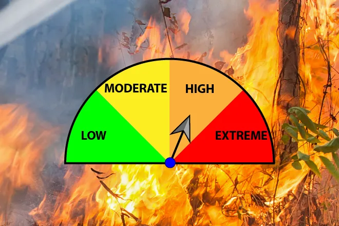
Friday's expected high near 95 stands out in an otherwise seasonable stretch. Forecasters described Friday as mainly dry and much warmer, with mid-90s across most of the plains and much drier air over the interior. Fire weather concerns for Thursday and Friday were confined to the interior mountains, where single-digit minimum humidity and breezy conditions are expected.
No watches, warnings or advisories were in effect for the Pueblo forecast area as of Tuesday evening, and no Red Flag Warning covered Prowers County. Even so, the combination of mid-90s heat Friday and gusty south winds Sunday warrants caution with any outdoor burning or equipment that throws sparks.
Lamar, Colo. — Five-day forecast (Sept. 9-13, 2026)
Source: National Weather Service, Pueblo — Issued Sept. 8, 2026
| Period | Sky Conditions | High/Low | Wind |
|---|---|---|---|
| Wednesday | Sunny; slight chance of thunderstorms midday | High 90 | West-northwest 5 to 15 mph, becoming northeast in the afternoon |
| Wednesday Night | Increasing clouds, 50% chance of showers and thunderstorms after midnight | Low 60 | Northeast 5 to 15 mph, becoming east-southeast after midnight |
| Thursday | Mostly sunny, breezy; 40% chance of morning showers and storms | High 85 | Southeast 5 to 10 mph, increasing to 15 to 20 mph in the afternoon |
| Thursday Night | Mostly clear, breezy | Low 61 | South-southeast 10 to 20 mph, gusts to 30 mph |
| Friday | Sunny | High 95 | South 5 to 10 mph, becoming west-southwest in the morning |
| Friday Night | Partly cloudy; 20% chance of thunderstorms before midnight | Low 62 | East 5 to 10 mph, becoming north-northeast after midnight |
| Saturday | Mostly sunny, breezy | High 83 | North-northeast 15 to 20 mph, gusts to 30 mph |
| Saturday Night | Partly cloudy | Low 58 | East 10 to 15 mph |
| Sunday | Sunny; 10% chance of thunderstorms after noon | High 91 | South-southeast 15 to 20 mph, gusts to 35 mph |
| Sunday Night | Partly cloudy, breezy | Low 60 | South-southeast around 25 mph, gusts to 45 mph |
(Kiowa County Press)
Thursday and Friday
Thursday carries a 40 percent chance of showers before 9 a.m. and thunderstorms between 9 a.m. and noon, then turns mostly sunny with a high near 85. A southeast wind of 5 to 10 mph will increase to 15 to 20 mph in the afternoon. Thursday night stays mostly clear and breezy with a low around 61 and south-southeast gusts to 30 mph.
Friday climbs to a high near 95 under sunny skies with light south winds turning west-southwest in the morning. Friday night is partly cloudy with a low around 62 and a 20 percent chance of a thunderstorm before midnight.
Weekend outlook
Saturday backs off to a high near 83 with mostly sunny skies and a breezy north-northeast wind of 15 to 20 mph gusting to 30 mph. Saturday night is partly cloudy with a low around 58.
Sunday returns to the low 90s under sunny skies, with a 10 percent chance of an afternoon thunderstorm and a breezy south-southeast wind of 15 to 20 mph gusting to 35 mph. Winds increase Sunday night to around 25 mph with gusts to 45 mph under partly cloudy skies and a low around 60.
Drivers on U.S. 50 and U.S. 287 should be prepared for strong crosswinds Saturday and again Sunday night. Forecasters expect a cooling trend into early next week with better chances for showers and thunderstorms as a cold front moves down the plains.