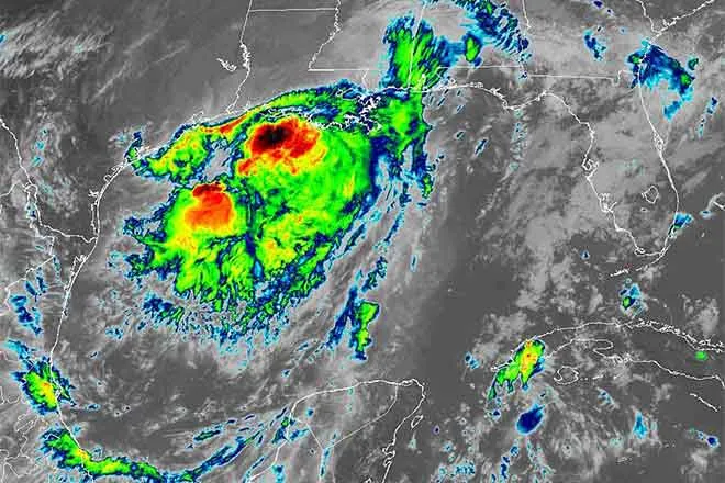
Storm chances build Saturday night as Cheyenne County cools from 89 to 70

Cheyenne County is in for the sharpest weather change of the past month, as a cold front and a passing upper-level trough replace Friday's near-90 warmth with rain, thunderstorms and high temperatures in the low 70s by early next week.
Friday is mostly sunny at Cheyenne Wells with a high near 89 and a southwest wind of 5 to 10 mph turning west during the morning. Friday night brings a slight chance of showers and thunderstorms before midnight, with a low around 60 and a south wind turning north in the evening.
Forecasters with the National Weather Service in Goodland, Kan., flagged the weekend system as the more significant of the two. "Evening and overnight storms expected Saturday night into Sunday morning," the office wrote in Friday's Area Forecast Discussion, putting the chance of 60 to 75 mph wind gusts, hail up to 2 inches and flash flooding at roughly 15 percent.
Two systems, with the stronger one Saturday night
The first opportunity for storms comes Friday evening, when a quick-moving low forming in the lee of the Colorado mountains pushes a cold front across the region. Goodland forecasters put the chance of severe weather from that round at 10 to 15 percent along and northwest of a line running from Trenton, Neb., to Cheyenne Wells, with a microburst producing strong straight-line winds the most likely hazard and the tornado threat under 2 percent.
The larger event follows Saturday night, when a backdoor cold front pushes cool, saturated air into the area and a trough ahead of a Northern Rockies low supplies the lift. The chance of precipitation at Cheyenne Wells reaches 90 percent, the highest of the five-day period. Forecasters said all hazards are possible with that round, with the outcome depending on whether storms stay discrete — favoring hail up to 2 inches — or organize into a line, which would favor damaging wind instead.
No watches, warnings or advisories were in effect for the Colorado portion of the Goodland forecast area as of Friday morning, and no fire weather headlines were posted.
Cheyenne Wells, Colo. — Five-day forecast (Sept. 18-22, 2026)
Source: National Weather Service, Goodland, Kan. — Issued 5:36 a.m. MDT Friday, Sept. 18, 2026
| Period | Sky Conditions | High/Low | Wind |
|---|---|---|---|
| Friday | Mostly sunny | High 89 | Southwest 5 to 10 mph, becoming west in the morning |
| Friday Night | Partly cloudy; slight chance of showers and thunderstorms before midnight; 20 percent chance of precipitation | Low 60 | South 5 to 10 mph, becoming north in the evening |
| Saturday | Mostly cloudy, then gradually becoming sunny; chance of showers, with thunderstorms possible after 1 p.m.; 40 percent chance of precipitation | High 80 | North 5 to 10 mph, becoming east in the afternoon |
| Saturday Night | Showers and possibly a thunderstorm; 90 percent chance of precipitation | Low 56 | Northeast 5 to 10 mph |
| Sunday | Partly sunny; chance of showers, with thunderstorms possible after 3 p.m.; 40 percent chance of precipitation | High 73 | Northeast 5 to 10 mph |
| Sunday Night | Mostly cloudy; showers likely and possibly a thunderstorm; 60 percent chance of precipitation | Low 51 | Light and variable |
| Monday | Mostly sunny; slight chance of showers, with thunderstorms possible after noon | High 72 | Light and variable |
| Monday Night | Partly cloudy; 40 percent chance of showers after midnight | Low 52 | Light and variable |
| Tuesday | Mostly cloudy; chance of showers, with thunderstorms possible after noon; 30 percent chance of precipitation | High 70 | Light and variable |
| Tuesday Night | Mostly cloudy; slight chance of showers and thunderstorms | Low 54 | Light and variable |
(Kiowa County Press)
Saturday and Sunday
Saturday begins mostly cloudy and gradually becomes sunny, with a high near 80 and a 40 percent chance of showers, with thunderstorms possible after 1 p.m. The wind blows from the north at 5 to 10 mph before turning east in the afternoon, ahead of the evening storms.
Sunday is partly sunny and nine degrees cooler, with a high near 73 and a 40 percent chance of showers, with thunderstorms possible after 3 p.m. Showers are likely again Sunday night as the low falls to around 51.
Extended outlook
Monday is mostly sunny with a high near 72 and only a slight chance of afternoon showers and thunderstorms. A 40 percent chance of showers returns after midnight Monday night, with a low around 52.
Tuesday stays mostly cloudy and cool, with a high near 70 and a 30 percent chance of showers and thunderstorms after noon. Goodland forecasters said lower instability and moderate wind shear early next week point toward showers rather than severe storms.
Residents should keep a way to receive warnings overnight Saturday, when the strongest storms are expected to arrive after dark. Updated forecasts and any warnings are posted at weather.gov.