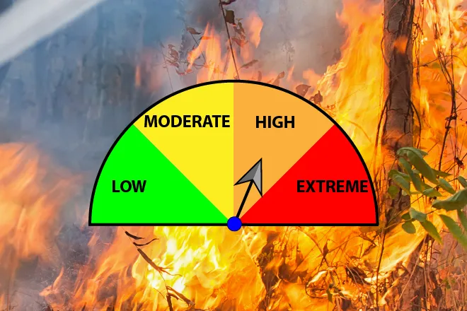
High Fire Danger Returns Sunday, Warm Week Ahead

By Chris Sorensen
With the official start of Spring still over a week away, above average temperatures continue this week, along with increased fire danger Sunday.
Monday will be the coolest day of the week as the high approaches 60 under mostly sunny skies. The low returns to around 30.
Warmer temperatures return Tuesday as the high reaches the upper 60s, and low 70s are in store for Wednesday. Overnight lows will be in the mid-30s both days.
Thursday’s high will be near 80, with the potential for elevated fire danger. The overnight low will be near 40.
A weak cold front Friday will drop the high to the upper 60s before returning to the upper 70s Saturday.
Precipitation is not expected this week.
KiowaCountyPress.net now offers a free forecast update emailed to you each morning around 6:00 a.m. To begin receiving forecast updates, send an email to kiowacountypressweather+subscribe@googlegroups.com for quick signup process. Then, just reply to the message sent back to you to confirm your email address, and you're done! You'll start receiving the weather forecast the next morning. There's no cost, and you can unsubscribe any time.